Course, Weather, and Environment
Course and weather form the foundation of every simulation. A realistic course with associated weather conditions allows you to accurately model speed, energy expenditure, and nutrition strategy. The simulator supports both manual creation and the import of real course data.
The Course Editor
In the course editor, you define the elevation profile of your course. Each data point describes the elevation at a specific distance. Between data points, the simulator interpolates linearly, and gradients are calculated automatically.
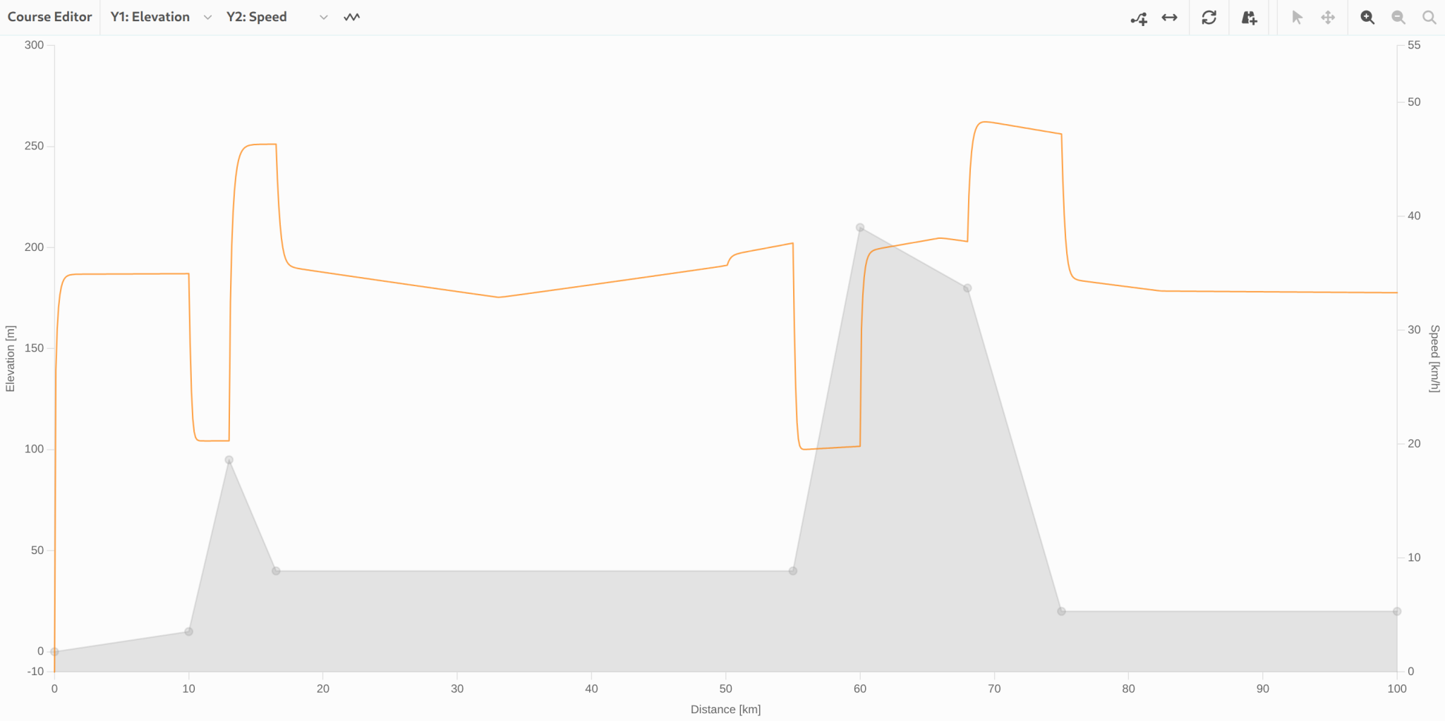
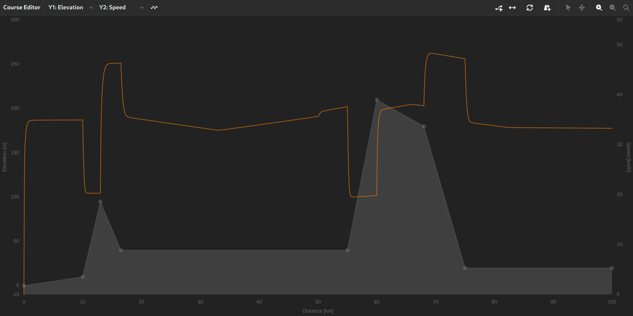
For manual creation, you can choose the distance grid at which new points are placed:
- 1 m, 10 m, 100 m, 250 m, 500 m, 1,000 m, or 5,000 m
Using the chart or list view, you can add, edit, and delete elevation points. A reset button restores the default values.
Importing a Course
The most efficient way to set up a course is to import an existing file. The simulator supports the following formats:
- GPX (GPS Exchange Format) – from Strava, Komoot, Garmin Connect, etc.
- TCX (Training Center XML) – from Garmin devices and TrainingPeaks.
- FIT (Flexible and Interoperable Data Transfer) – native format from Garmin, Wahoo, and other devices.
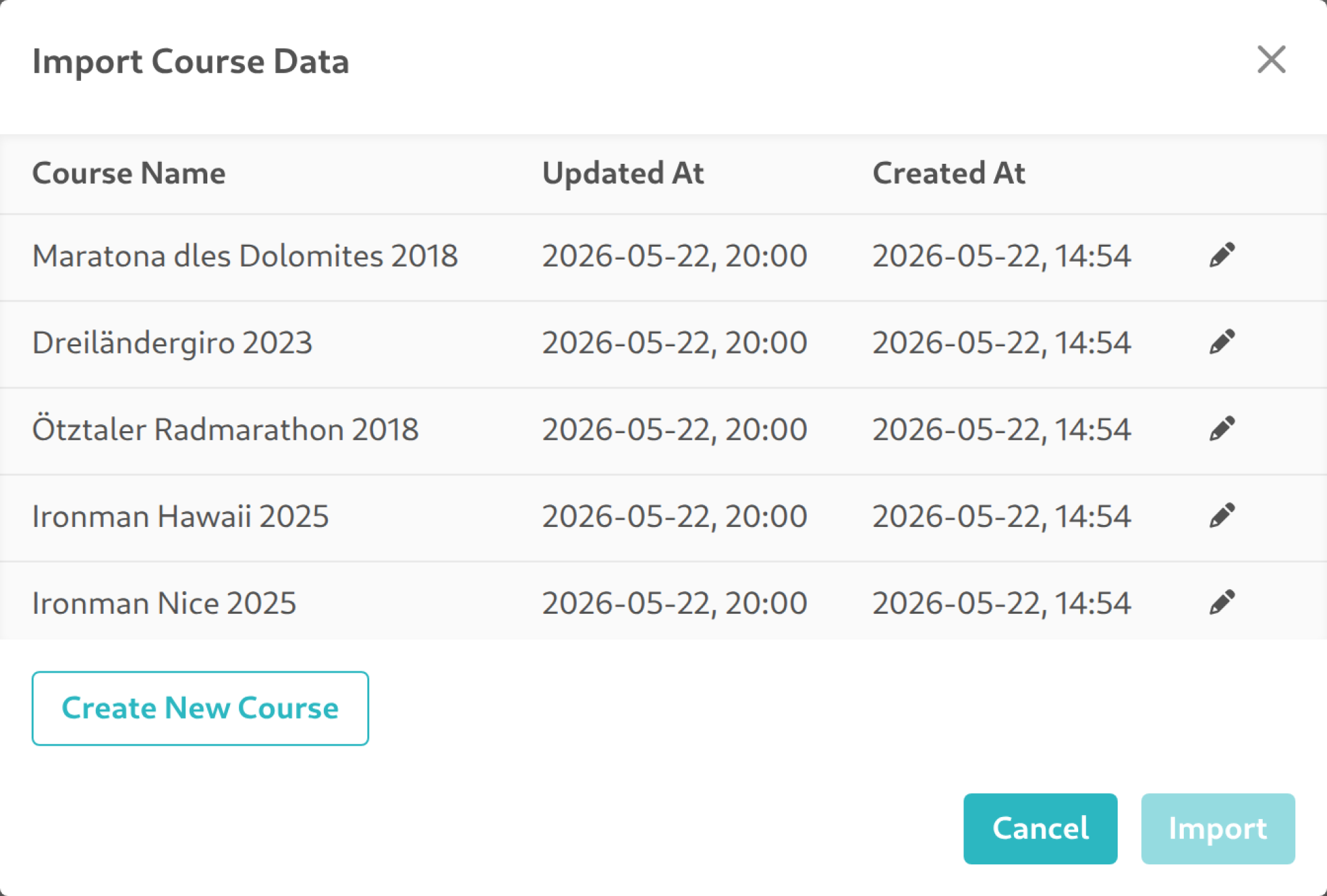
During import, the GPS coordinates (latitude, longitude) and elevation profile are extracted from the file. Imported course segments are not directly editable (marked as "Imported") to preserve the integrity of the original data.
Imported courses can be saved to your personal library, renamed, and managed.
Map Visualization
For imported courses with GPS coordinates, an interactive map is available. The map is powered by OpenStreetMap and displays:
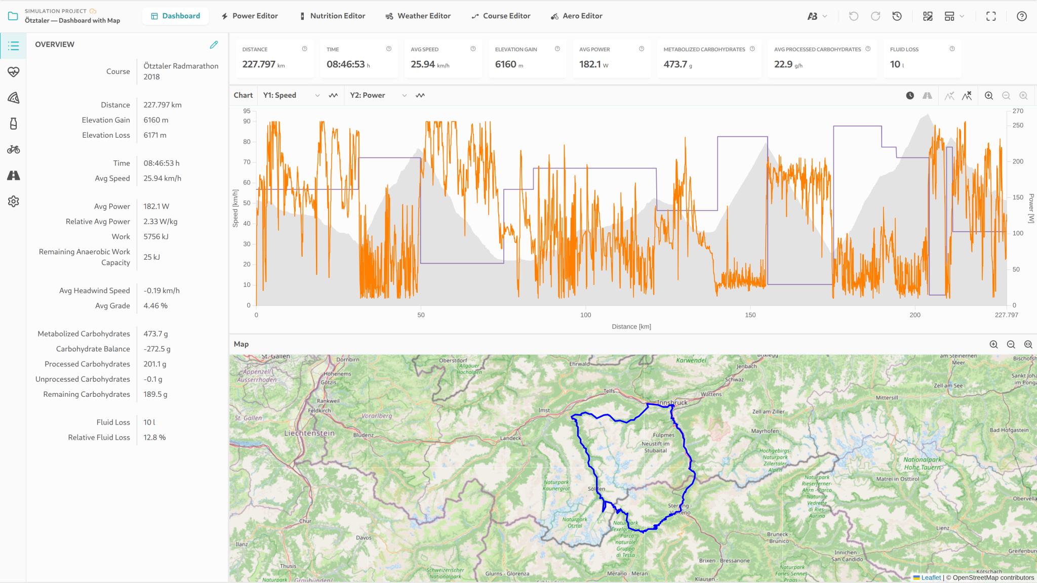
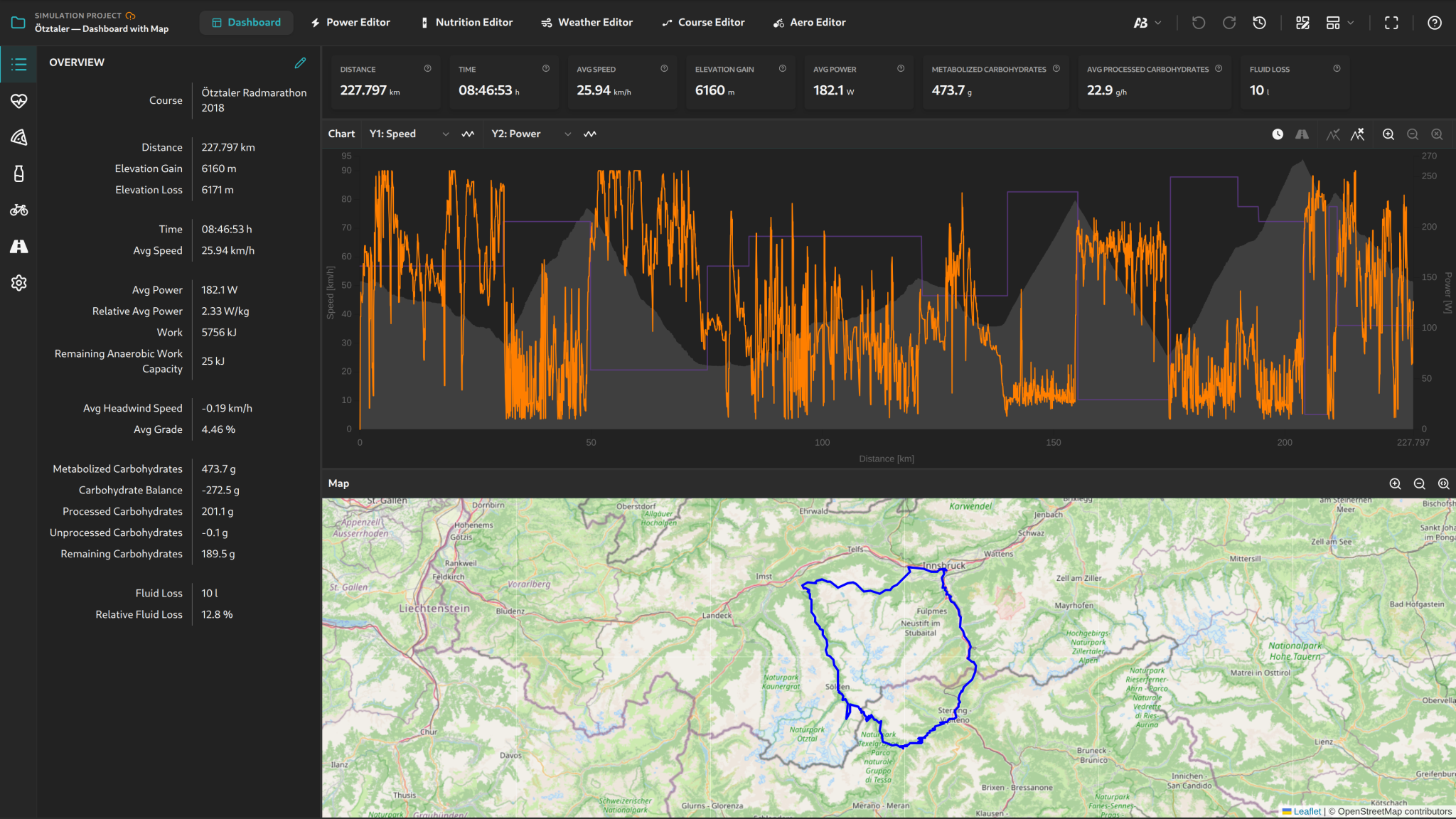
- The course as a polyline on the map.
- A position marker that moves along the course as you hover over charts.
- Zoom and navigation controls for comfortable exploration.
- Automatic map fitting to the full course extent.
The map is only available when the course contains GPS data. Manually created courses (elevation profile only) are displayed without a map view.
Surface and Road Conditions
Individual segments of a course can carry a CRR Multiplier — a dimensionless factor that raises the equipment's baseline rolling resistance on that segment. The default is 1.0 (clean, dry tarmac); rough orientation values are around 1.5–3 for gravel (depending on roughness) and around 3–5 for cobbles. The multiplier is set in the course editor as a datapoint and applies from that distance until the next datapoint.
These reference values assume that the equipment's baseline CRR is set for a road tire on clean, dry tarmac. If the baseline CRR has already been chosen for a gravel or all-road tire (typically about twice the value of a road tire), the multipliers should be reduced accordingly to avoid double-counting the surface penalty.
Practical consequence: at constant rider power, a higher multiplier yields a lower speed; on gravel or cobbled sections the effect is substantial. The underlying formal adjustment of the rolling-resistance coefficient is described in the Surface-Dependent Adjustment of Rolling Resistance section on the Physics and Methods page.
The Weather Editor
In the weather editor, you define the environmental conditions along the course. At each distance point, you can specify:
- Wind speed: 0 to 108 km/h.
- Wind direction: 0° to 360° – the direction the wind is coming from (0° = North, 90° = East, 180° = South, 270° = West).
- Temperature: −10 °C to +45 °C.
- Pressure: 600 to 1,100 hPa.
- Humidity: 0 to 100%.
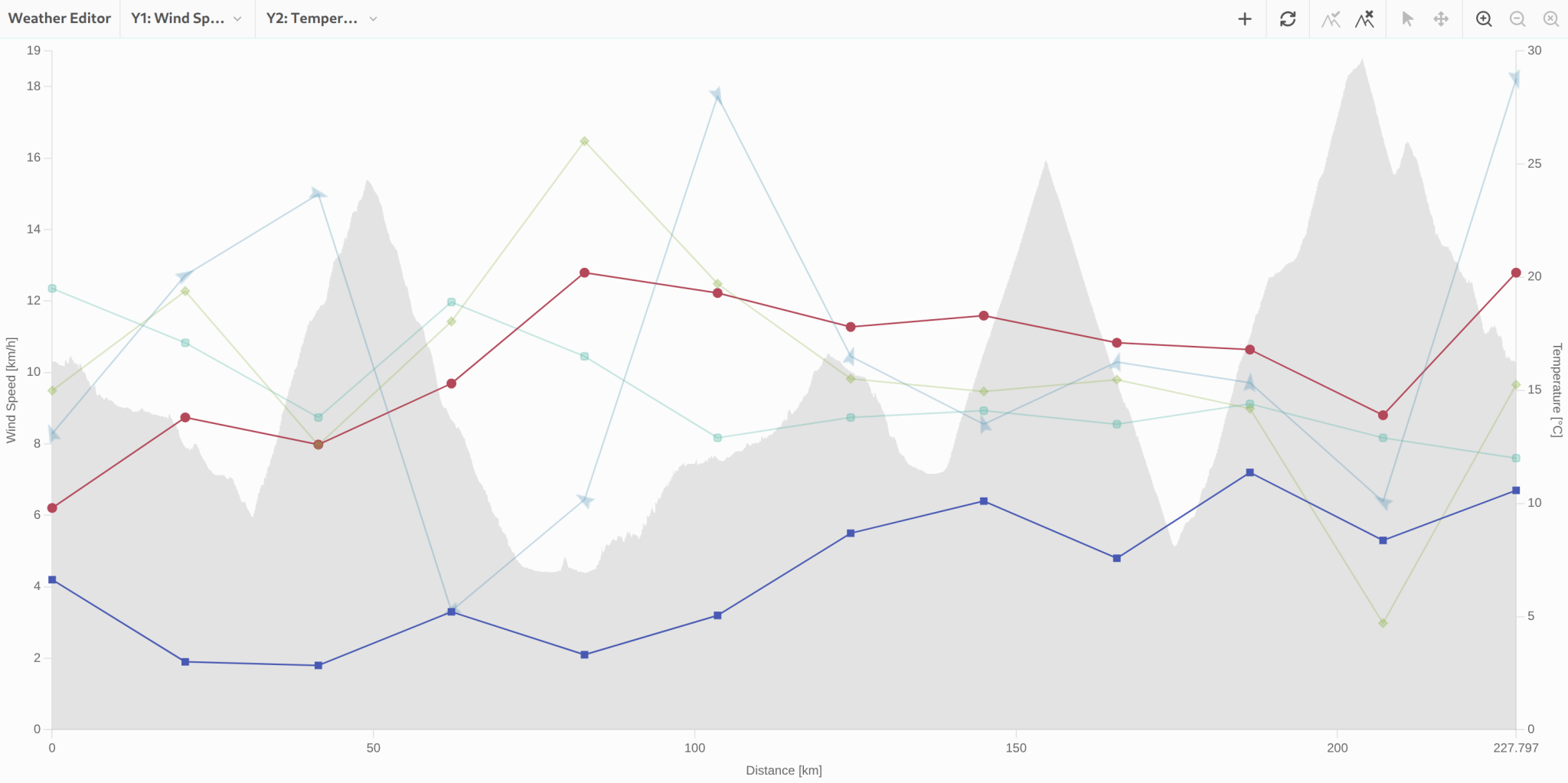
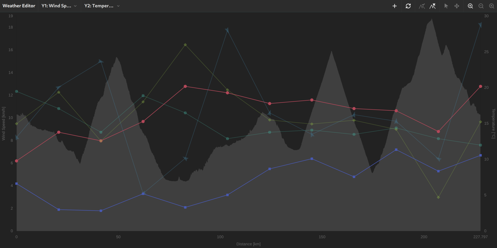
Values are linearly interpolated between defined points, so conditions change realistically along the course.
Importing Weather Data
For courses with GPS coordinates, you can import weather data automatically. The simulator retrieves historical or forecast weather data for your course's coordinates and automatically populates the weather editor along the entire route.
This is especially useful when simulating a specific race on a given date, as you can use the actual or expected conditions.
The import dialog asks for:
- Date and start time of the ride.
- Expected duration – so conditions are carried forward across the ride rather than reflecting only the start.
- Number of weather points – how many sampling points along the course are requested and written into the weather editor.
The selectable date is bounded by the weather service: forecasts reach up to seven days ahead, historical data back to 1940. For a race more than a week away, import a comparable date from a previous year first — or enter the expected conditions by hand — and refresh the import during race week.
How Environment Affects the Simulation
Environmental conditions have a significant impact on the calculated speed:
- Air density: Temperature, humidity, pressure, and altitude determine air density, which directly affects aerodynamic drag. Warm, humid air is less dense and slightly reduces air resistance.
- Headwind and crosswind: The simulator decomposes wind into headwind and crosswind components based on wind direction and riding direction. Headwind significantly increases resistance, while crosswind changes the effective yaw angle and affects the CdA.
- Elevation profile: Climbing segments require significantly more power for the same speed, while descents result in higher speeds at the same power output.
For more details on the physics behind these calculations, see Physics and Simulation Methods.